| A SHORT
CRUISE ON THE NORTHUMBERLAND STRAITS by JIM FRASER in WAYFARER NAOMI Part 1 of 2 |
|
I planned to spend the last
week and a half of my annual
vacation pottering along
...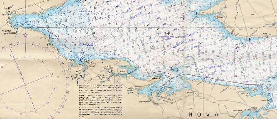 The waters of the Northumberland Straits are much warmer than |
|
Saturday,
September 11
Forecast N/E 10-15 knots to light I launched my Wayfarer, Naomi,
at Port Elgin in
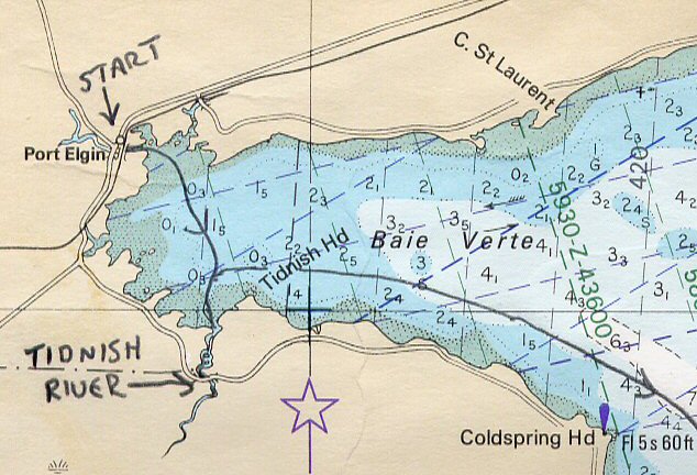 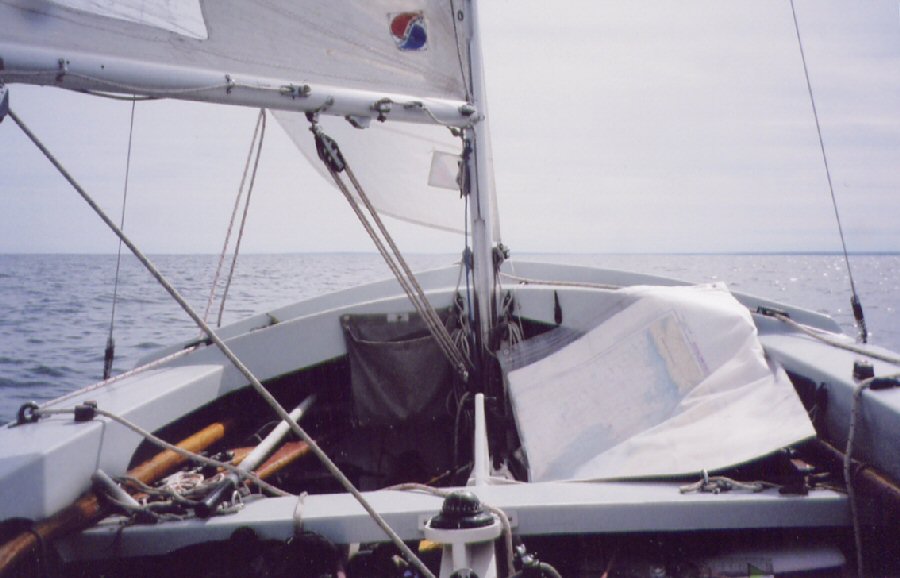 Naomi on Baie Verte 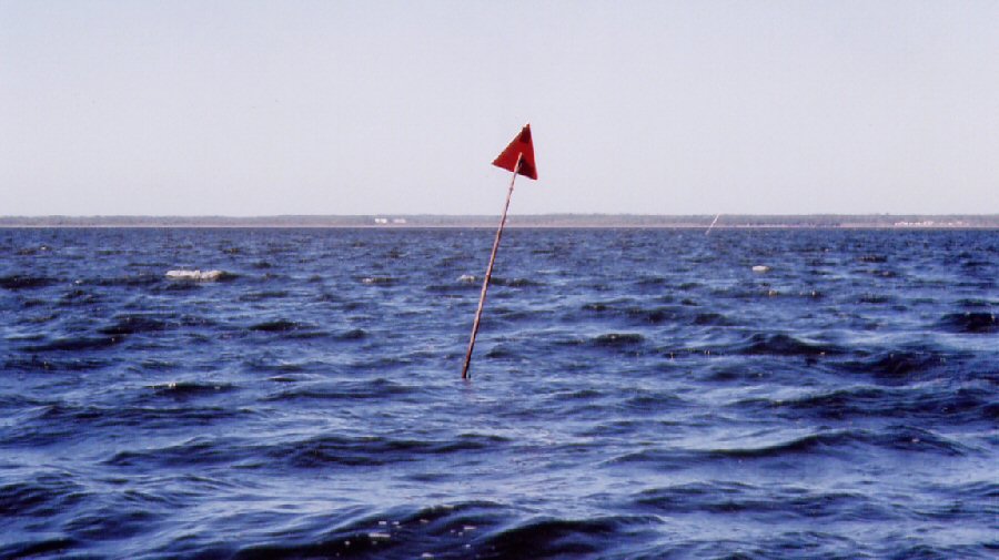 Withies off Tidnish River After a short sail, Naomi arrived
off
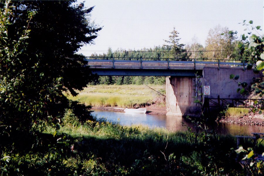 I left Naomi by the bridge (above) and hiked along a rail bed
which
was once part of the ill-fated Chignecto Marine Transport Railway. Since the French period in the 17th
century, there were various plans to build a canal across the Isthmus
of
Chignecto. Vessels traveling up the
eastern seaboard of
 I anchored for the night
alongshore on
... |
|
Sunday
September 12
Forecast S/W 15 knots afternoon to S/W 20/25 knots  Naomi sailed easily on a force 2/3
reach until near
the approaches to
...  Pugwash 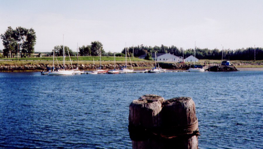 The tidal flow is 2 knots in the approaches but near the road bridge it reaches 4 to 5 knots. I stopped at the Pugwash Marina (above) which is located near the bridge. They had one visitor slip which I took. After a leisurely meal of spaghetti, wine, and veggies, I headed for a coffee shop in Pugwash. Later, some of the boat owners at the marina dropped by to talk. |
|
Monday
September 13
Forecast W 20-25 knots veering to N/W 20-30 knots during the morning 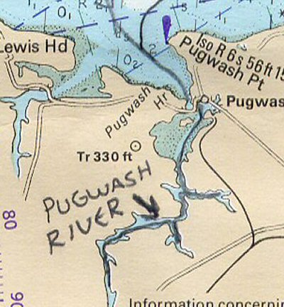 With the winds freshening even
at dawn, I wanted to get under
the road bridge at Pugwash and head for the more sheltered
Eventually I compromised. I waited for the current to decrease somewhat before shoving off. However, my plans came apart. I used one of the oars to push away from the dock so I could clear the neighbouring yachts and swing the bow into the stream. Unfortunately, the strong current punched Naomi back against the dock and she slid sternwards along the dockside. Before I could react quickly enough, the oar blade caught between two floating docks, jammed in the rowlock and snapped off! I quickly tied Naomi to the dock mooring cleats
and searched
for the piece which had snapped off. Perhaps
with bolts and duct tape I could lash the oar
together again. The shattered blade was
gone but I kept the rest
in case I found the remains above the bridge.
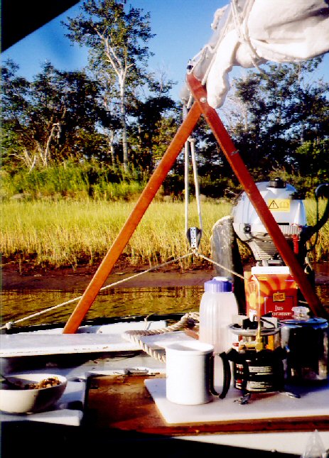
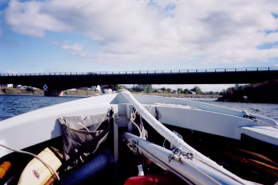 Mast lowered, Naomi heads for the Pugwash Bridge 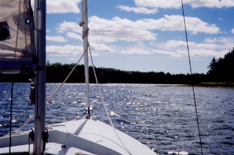 I lowered the mast, and motored
under the bridge. In
the basin beyond, I hoisted the main and
had a great sail (above) up
the
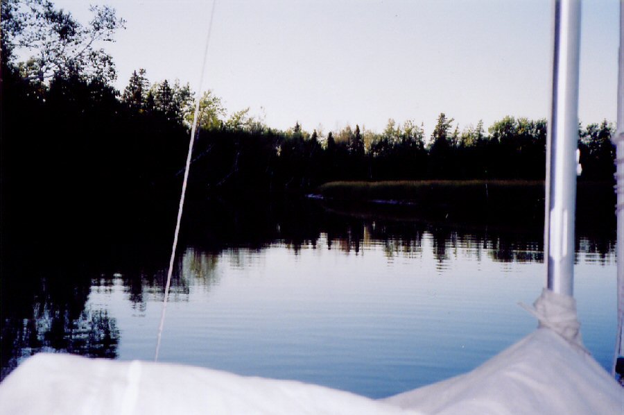
 Camping on the ... 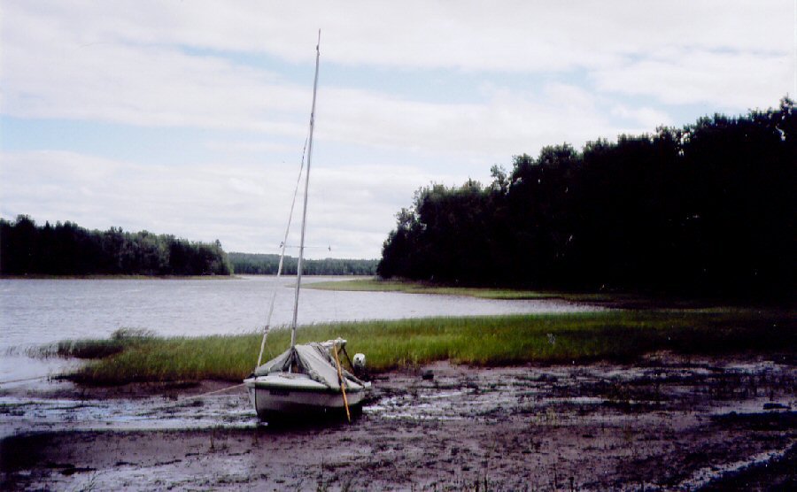 ... During
the evening, I reclined
against the thwart with
my inflatable mattress serving as a cushion and backrest.
The canvas boom-tent rippled from gusty downdrafts,
but it sheltered me from the weather. Naomi rested solidly on the mud
bottom. Right outside, a strong, chilly
north wind raised white
caps on the
basin, whipped tree-tops, and blew across the marsh grass in bold green
waves. Bald eagles soared in the
turbulence. I enjoyed these views nestled
in my dinghy.
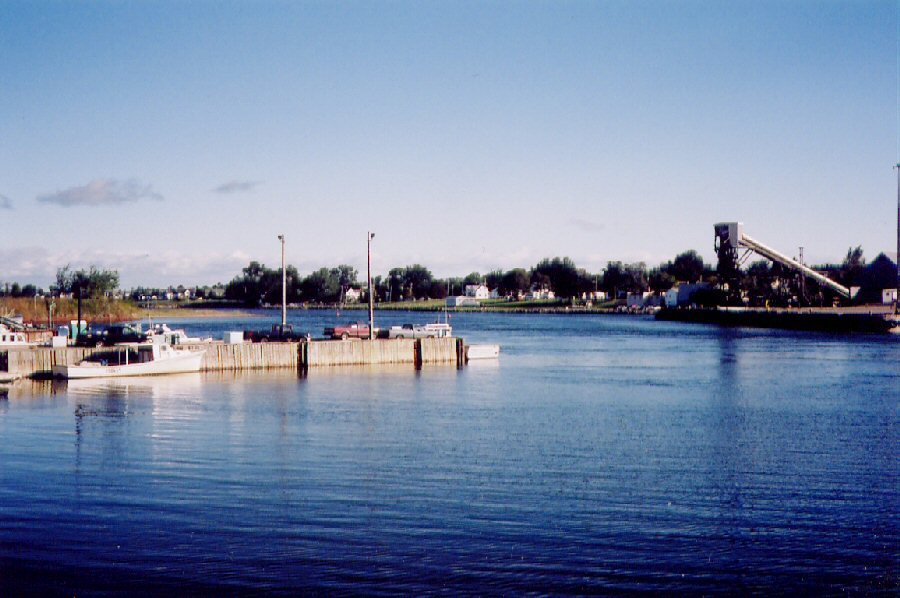
...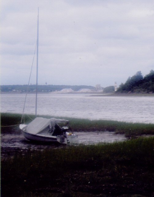 Mounds of salt at the mine |
|
Tuesday
September 14
Forecast N/W to diminish by 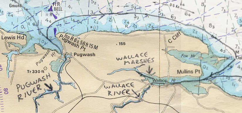 I waited for slack high water
at 1130 before lowering the
mast and motoring back under the bridge to Pugwash.
A sloppy sea still ran in Pictou Roads. Naomi rose and slammed over short,
steep waves. A green buoy
bobbed a
distance to
windward. I wished I had a large-scale chart of the harbour approaches
to indicate
how far to seaward I must travel to clear Pugwash Reef. Finally
I cleared the reef and swung Naomi to
starboard. The northwesterly headwind became a more congenial breeze on
the
quarter. My destination was
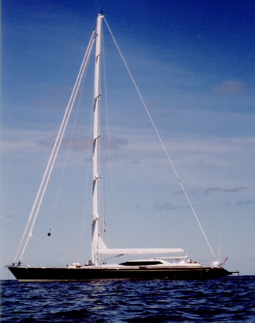 While cruising along the coast,
I encountered (above) the
luxury
yacht
 As I sailed up
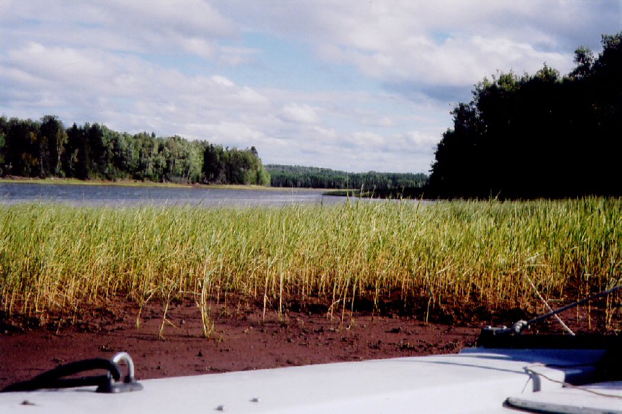
 Wallace 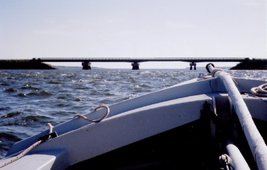 The inner harbour at Wallace
was crowded with fishing
vessels and the outer high wharf sides were too exposed to tie
alongside
comfortably. I sailed onward, lowering
the mast, and motored under the Wallace causeway (above). Beyond
the causeway lies an extensive marsh
which is designated as a national wildlife area. Several
seals entertained themselves sliding
down greasy mud banks before splashing into the water as Naomi passed,
but I
didn’t envy their larking in that thick sticky mud.
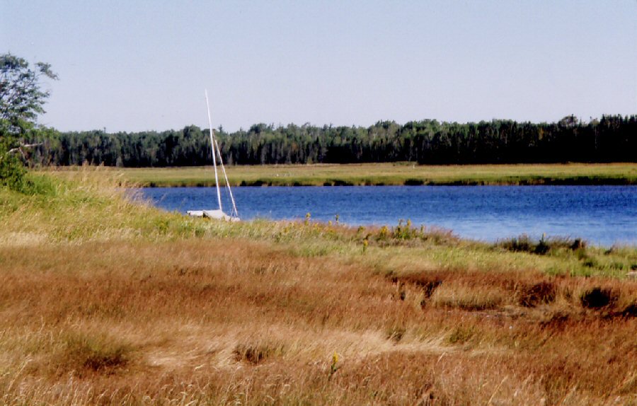
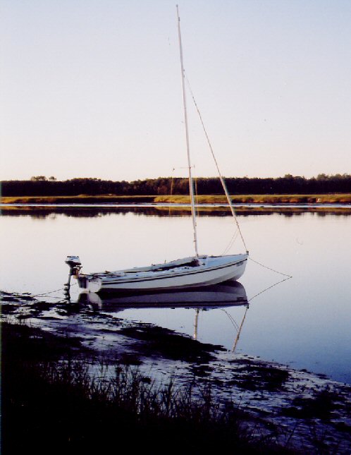 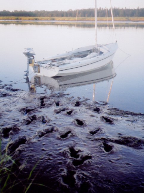 I anchored Naomi in the marshes, where I
hoped she wouldn’t
dry out at any point on the surrounding mud banks. Then,
wearing high sea boots, I cautiously
slogged ashore (see boot prints
above), to roam the more firm marshland. Later (see photos below), I relaxed in Naomi, listening to the
wind whistling through the marsh grass, and watching
the wader
birds, geese, and eagles seek their meals.
  The night was too clear.
I gazed at the bright arch of the milky way through my 7 x 50
binoculars, and then
tried, with difficulty, to pick out the basic constellations I am
familiar with at
home in the murky Dartmouth night sky. This mass of stars was
overcrowding my night
sky! At one point, I was pleasantly
distracted
as a meteor trailing a long fluorescent tail streaked across my view.
... |
| Part 2 return to Logs Index |