| A Wayfarer on the Saint John River Naomi W8328 June 2003 Part 1: Saturday and Sunday - Mactaquac to Ram Island (special thanks to W3654 crew, David Weatherston of TS&CC, who saw Uncle Al's scans and has colour-corrected and generally improved most of the photos in this fine log) .. |
| My
van’s license plate proclaims Nova Scotia to be “Canada’s Ocean
Playground”. What would possess me to leave my ocean playground
in order to ditch-crawl on New Brunswick’s Saint John River in a
dinghy? Cruising on the Saint John River in a Wayfarer dinghy is an interesting experience quite different from coastal sailing in Nova Scotia. The exploration of North American river systems by Europeans is packed with exciting logs of journeys in canoes, bateaux, and small sailing vessels. Dinghy cruising for recreation evolved from British sailors who built kayaks and canoe yawls in the 1860’s. These vessels could fit easily into steamers' holds, railway baggage cars, and upon horse-drawn carts. Summers were spent on exciting cruises exploring the rivers of Europe, Scandinavia, and for John MacGregor, even the Nile in Egypt. American sailors in the late 19th and early 20th century made numerous cruises in small sailing boats on their inland waterways. Their logs are far more interesting to me than logs of ocean crossings or circumnavigations of the world in record times. These small boat sailors sailed on waterways that I could imagine visiting myself and had experiences I can relate to. For several years of my childhood, I lived by the Saint John River. For a time I lived beside one of the typical two-level government wharves at Upper Maugerville. Later we moved to Nashwaaksis where I lived behind a lumber mill on an arm of the Saint John River. Beyond the supervision of our parents, we fished from the river bank, were passengers in punts poled by older brothers and ran along the log booms while the river's current surged around us. The Saint John River both fascinated and scared me in my youth. 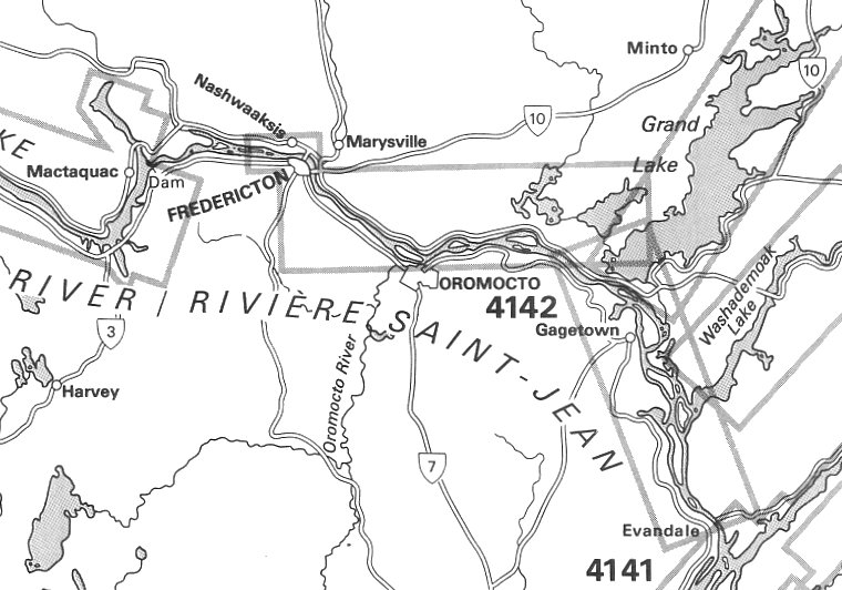 The Saint John River begins in Maine and flows north before curling south. It is the border between the USA and Canada for a stretch of its 750 km length. In the 1960’s, a large hydroelectric dam was completed just north of Fredericton at Mactaquac. The flooded river valley above the dam has created a deep headpond which stretches upriver past Woodstock. The government produces strip charts and a pilot which covers the Saint John River from Saint John to north of Woodstock. From Mactaquac downriver to Saint John is known as the Lower Saint John River Valley. 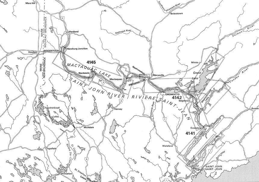 I planned to cruise on the Lower Saint John River for a week and a half in June. I’d sail from Fredericton but beyond that I had no distinct sail plan. Either I could sail back to the launch site or I could end up in Saint John where the river flows into the Bay of Fundy. From there I could return to Fredericton by bus to retrieve my van and trailer as I have done twice before. All day Saturday the winds were strong and a steady rain fell. I decided to camp overnight at Mactaquac Provincial Park and begin my cruise on Sunday. The park is located by the headpond of Mactaquac dam. During our family vacations, we often camp at this park and day sail our Wayfarer on the headpond. There is a separate boat launch for sailboats in a sheltered cove at the park. The Mactaquac Boat Club has a dock, storage building, and mooring buoys in this cove. 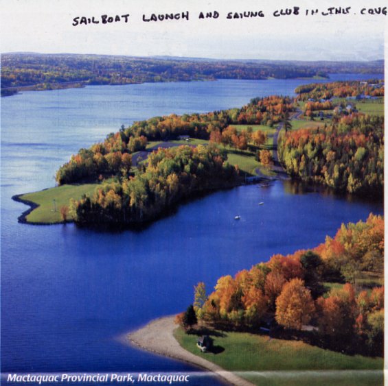 Handicap races are held by the club four times a year and visiting dinghy cruisers are welcomed to join in the races and social time before and after the race. Trailer sailors visiting the Fredericton area or camping at the park might want to contact one of the local Wayfarer owners (Al's note: Kevin Pegler or Brian Mills) beforehand to find the race schedule for the season. Everything from Mirror dinghies to cruising yachts participate in these races. 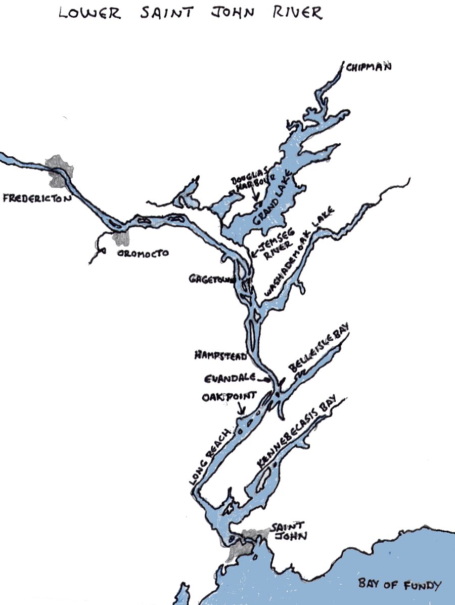 The Lower Saint John River is an interesting dinghy cruising area. There are extensive marshes with bird sanctuaries, uninhabited islands, meandering streams and attractive pasture land along the riverbanks. There are narrow basins to explore such as Washedemoak Lake, Belleisle Bay, and Kennebecasis Bay. Also Grand Lake is a good cruising body in itself. 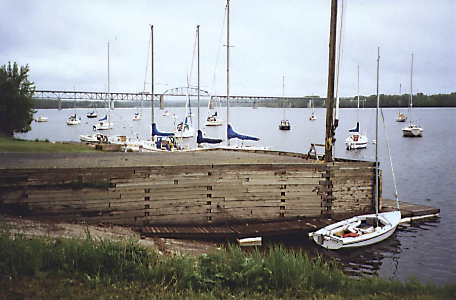 On Sunday morning I launched my Wayfarer at the Fredericton Yacht Club (above). Thanks to Fredericton Wayfarer sailors Brian and Judy Mills, I could launch my Wayfarer at their club and leave my van and trailer in the compound while I was away. 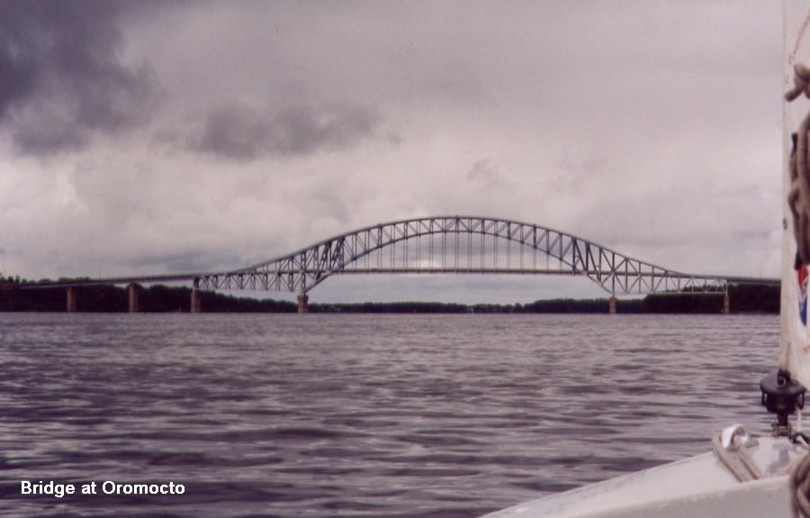 The weather was unsettled—sometimes I rowed and other times I was furling the jib or luffing the mainsail through rain squalls. During the morning I sailed past Oromocto This is the garrison town for Camp Gagetown and is home to the armoured and engineering schools. Extensive training grounds lay behind the village. There is a shopping mall, liquor store and fast food restaurants by the waterfront. I continued on without stopping, though. 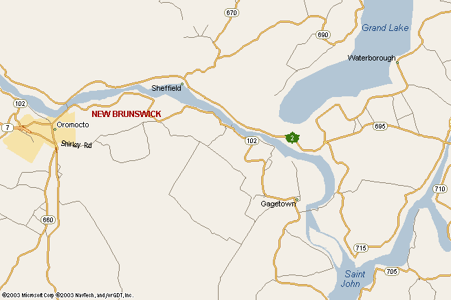 In a narrow channel behind Ram Island, I brought Naomi ashore alongside the tall marsh grass. It takes some time to make a transition from the routine of work and home to cruising in a small boat. Setting up the tent, unrolling the bedding, and sorting my cooking gear seemed to take all evening. However the quietness and isolation of my anchorage made a pleasant end for the first day of my cruise. 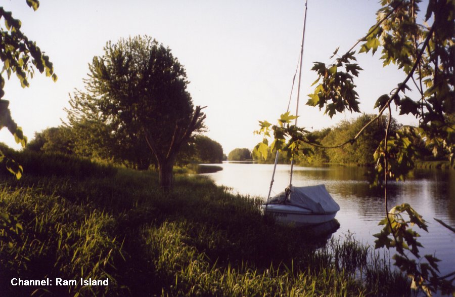 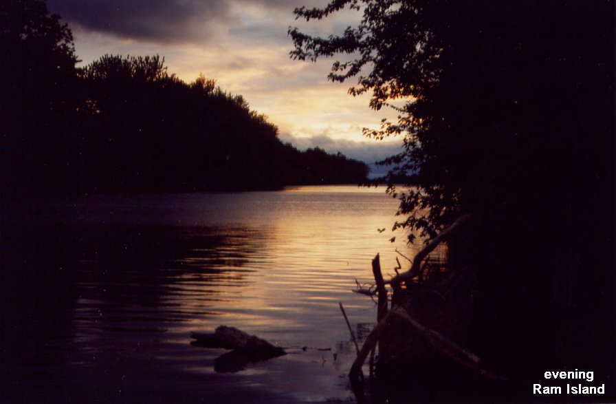 |
|
A Wayfarer on the Saint John River
|