|
Participants. Dick
H. &
Jane
Al & Hans Kit & Mark (not firm) Tom Goldsmith & Richard Watterson AnnMarie Covington & Vickie Braxton Jeff & Fran Kirk Ken Butler Jesse & Carolyn Tate Bill Harkins (not firm) Nick & Mary Seraphinoff Dave, Donna & Sam Laux (6.5 m shallow draft keel boat) Tony & Mary Krauss (day-to-day, Mary's shoulder injury)<> NOAA
no.12230 is a smaller scale chart and therefore covers a much larger
area than the larger scale no.12231. Frequently I like to
recommend this kind of chart because when sailing a dinghy in windy or
wet conditions it is not always easy to be trying to shuffle between
several charts. For what we're doing the detail normally is
sufficient. However, no. 12230 doesn't take in the Virginia
waters that include Tangier Is. and Watts Is. That means you'll
want to add nos. 12225 (small scale) or 12228 (larger scale).
 Another
way is to download the free NOAA Chesapeake Bay Chart Booklet designed
as recreation navigation aids. Originally this required printing
out dozens of 8.5" x 11" sheets. Tony and Mary Krauss did this
and put them into a note book. In my opinion this would be very
awkward to work with and easily damaged by water. Maybe that
system has since been improved upon.
What
I use is a commercially produced chart book. It covers the entire
Chesapeake. It's a ring binder with plastic pages 12"x 18" that
are sturdy and waterproof.
GMCO Maps & Charts, PO Box 460, Garrisonville, VA 22463, 1-888-420-6277 <http://www.gmcomaps.com/> I purchased this book over ten years ago at a price of $60. (Al's note: The Chesapeake Bay Waterproof Chartbook is still listed at $59.95) DICK
Uncle Al talks GPS: The GPS should never replace your chart and compass. But especially in the featureless shorelines of the Bay, I have found my handheld GPS, thelow-end Garmin etrex 10 GPS, to be very useful as my first line of navigational gear. In Canada, it now lists at $129.99. Over the years, I have created a set of waypoints that are useful for the area we will cruise. Click here for the PDF version. I can also email you the original Word doc if you would like. CRUISE DATES: As things stand now
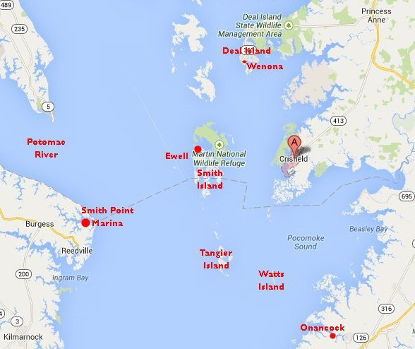
I'm expecting all of us to depart Crisfield, headed either for Smith
Island or Tangier Island Sunday morning weather permitting.
To
further clarify the above let me say that the important thing is
meeting the Sunday morning departure date. Actually, Jane and I
probably won't arrive until late in the day Saturday. We will be
coming from my daughter's house in the DC area. We plan
to launch Blue Mist Saturday evening and be ready to go Sunday
morning.
Also,
keep in mind we typically don't make a final decision whether to sail
first to Smith Island or head for Tangier until arriving in Crisfield.
The weather outlook for the week needs to be considered.
This is a group decision.
DICK
|
|
the itinerary as envisaged by Uncle Al and Hans
Gottschling
General: Weather permitting, we most often do the Triangle counter-clockwise: Crisfield > Smith > Tangier/Watts > Crisfield. At least Hans and I, will make every effort to make it to Onancock this year. This would make it a quadrangle: Crisfield > Smith > Tangier > Watts > Onancock > Crisfield. A likely itinerary will be as follows: 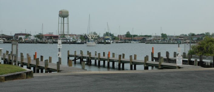 Excellent launch ramps across from the Marina 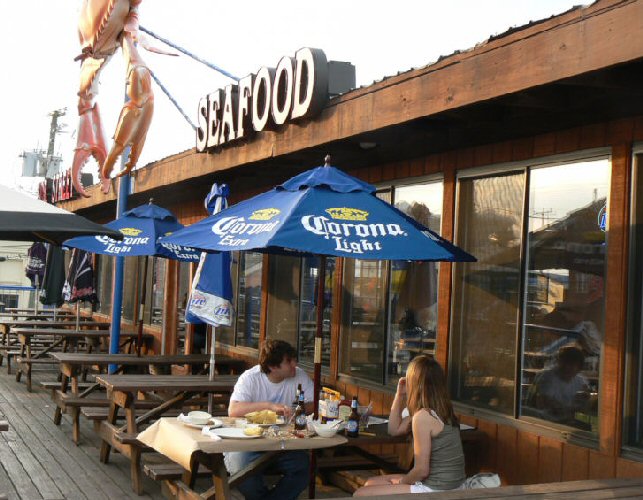 In 2012 this place, our favourite, was closed. Fri
23 May 2014: early morning departure (0800 hrs?) from
Oakville - stop-over in or near Rock Hall?
Sat 24 May: arrive around noon at the Somers Cove launch ramp across the cove from the Somers Cove Marina > boat set-up and Marina check-in > group crab dinner in whatever restaurant has survived the hard times. Accommodations: Most sleep aboard in their Marina slip. Hans and I are booked into the Paddlewheel Motel aka Capt. Tyler's (410-968-2220) which we find eminently acceptable: clean, very reasonably priced, right near the Marina. 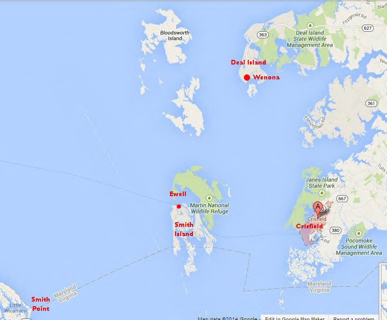 Sun 25 May: sail to Smith Island - stay at the Marina Accommodations: Most sleep aboard in their Marina slip. Hans and I plan to stay in Pauli's unofficial B&B ((410) 425-4220 paulizk@verizon.net) at the Marina: Smith Island Marina 410-425-2111 | 866-420-4220 Pauli points out there are other B&B's now available near the Marina. Note: We normally don't book until we are pretty certain the weather will permit us to be there, e.g. as we leave Crisfield in a decent breeze. 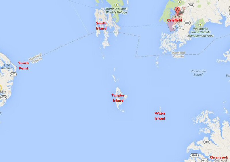 Mon 26 May: sail from Smith Island about 12 miles south to Tangier Accommodations: Most sleep aboard in their slip at Milton Parks' Marina 757-891-2581 757-891-2567 B&B: We have usually had good luck getting rooms at Hilda Crockett's Chesapeake House 757 891 2331 chesapeakehouseinfo@yahoo.com Note again: We normally don't book until we are pretty certain the weather will permit us to be there, e.g. as we leave Smith in a decent breeze. Tues 27 May: day trip for picnic lunch on Watts Island bird sanctuary: Tangier > Watts Island > Tangier Wed 28 May:
sail to Onancock (map above) - beg Jeff and his motor to
accompany us?
Those needing to depart the cruise early, can easily head back to Crisfield at this point - or even the day before. Hans and I have established that it is an easy day's sail back to Crisfield from either Tangier or Watts - always given at least a marginal breeze. Thurs 29 May:
main group returns to
Crisfield (Paddlewheel again?) Likely need to split
Nancock-Crisfield trip via a stop on Tangier if weather is any kind of
a problema problem? No sign of amenities on east shore between
Crisfield and Onancock :(
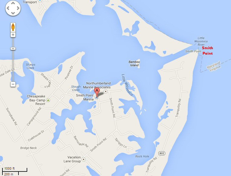
Hans, Al et al? Hans and Al will have time to kill until they depart for the Mayor's Cup Regatta in Greensboro, NC on the morning of Thurs 5 June. Options for that time include: Onancock to Tangier to
Smith Point Marina on the Western Shore of the Bay back to Smith Island
A run north to Deal
Island and our 2013
stomping grounds?
|