Dawdling Under Canvas Along the Saint John River
A September 2008 Cruise in Wayfarer 8328 Naomi
by Jim Fraser
September 17-18
...
September 17 Wednesday:

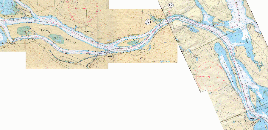
click here for full-sized chart image (left half)
click here for full-sized chart image (right half)

Today wasn’t a long day on the water even by my modest standards. After leaving Queenstown, I passed the
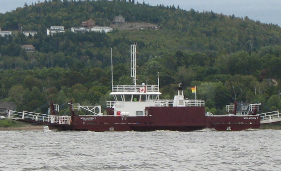
 village of Hampstead and its ferry. 


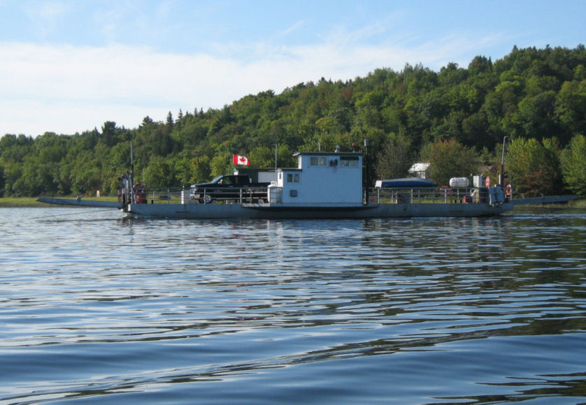
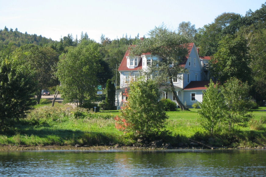
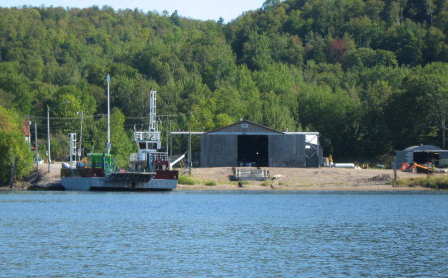
Soon I was abeam of Evansdale with the restored steamer-stop hotel (2nd photo above) on the starboard side of the river and another ferry and its maintenance sheds to port.  By the time I reached Oak Point, the wind was freshening and forecast to reach 40 km.


I decided to stop at Oak Point Park (above) where I’d book a campsite, set up my land tent, and use the park's showers and facilities. Unfortunately, the park was already closed for the season. The water was turned off and the Kiwanis members operating the park were nailing boards over the buildings’ windows. These workers said I was welcome to set up my land tent and camp ashore without charge.


In the end I decided to stay on Naomi overnight as my land tent would become damp with dew overnight and be yet another thing needing to dry. I used a nearby picnic table for supper while I aired my gear on shore.  I savoured the solitude of having this attractive park with beaches on three sides and a large stand of oak trees to myself.
...
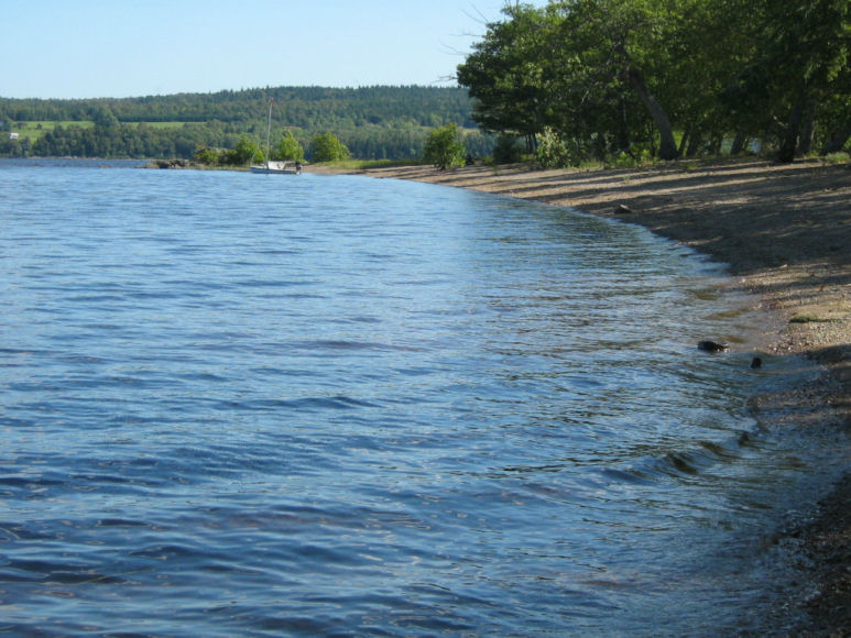
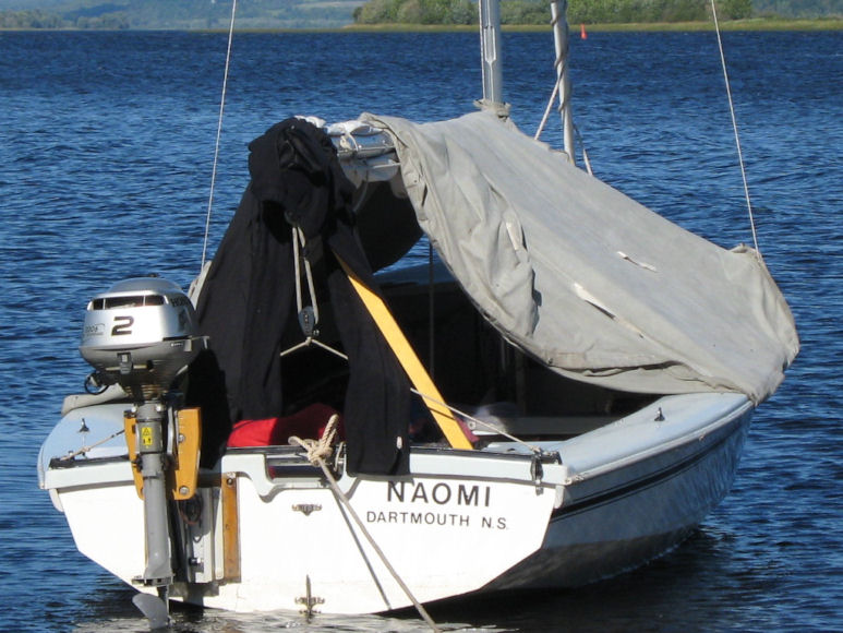
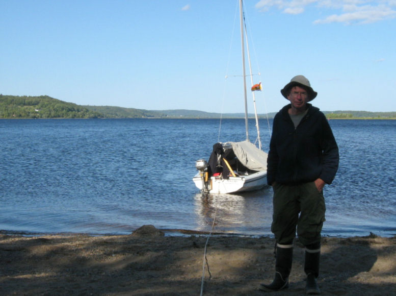
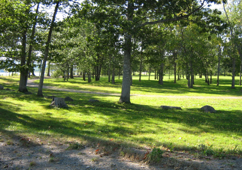
September 18 Thursday:

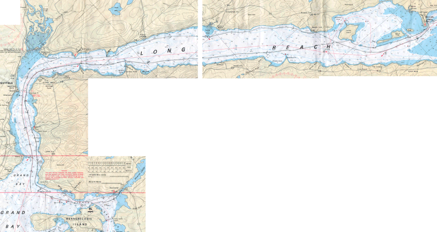
click here for full-sized chart image (right half)
click here for full-sized chart image (left half)


A northerly wind rose suddenly while I was still having breakfast on the beach. Naomi was in an exposed position so I hurriedly packed up and raised anchor. I was concerned about the wind and tucked in the lee of Cantone Island to decide whether to continue on downriver. The wind did subside and I sailed the length of Long Reach and around the point to Westfield. 


The Westfield side of the river is covered with the suburban sprawl of Saint John. I was surprised how much development has occurred here in the last few years. The river and tidal current down to Grand Bay is quite strong. After rounding Lands End, I headed for Milkish Creek to shelter from the wind and make plans.


After resting by the covered bridge in Milkish Creek, I sailed across to Kennebecasis Island. Here I sought protection from the chill northerly wind which had hurried Naomi down Long Reach but was now a headwind sweeping down Kennebecasis Bay. Hampton and the marshes were about 17 miles away and I’d have to wait for the northerly wind to ease. The marine forecast called for strong southerly winds the next day and Kennebecasis Bay has bold hills along the north coast. The sailing seemed dodgy and the scenery and shelter sparse, so I lost interest in going on any further. Instead, I discovered a modest anchorage behind Kennebecasis Island for the night.


...
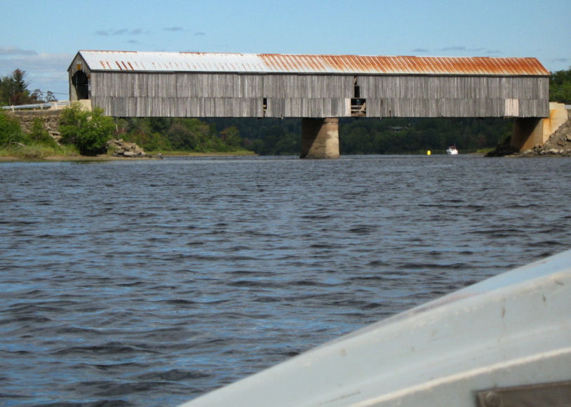
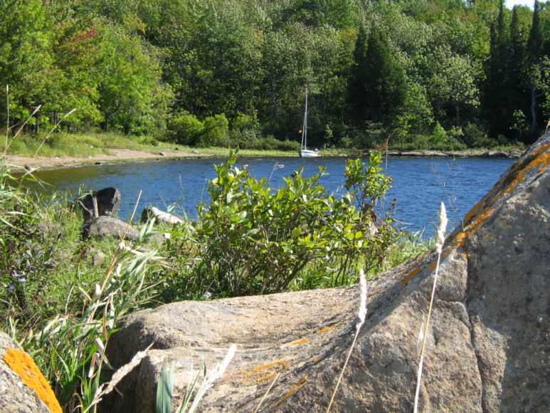
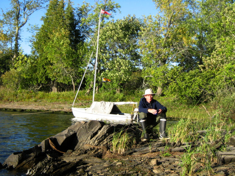
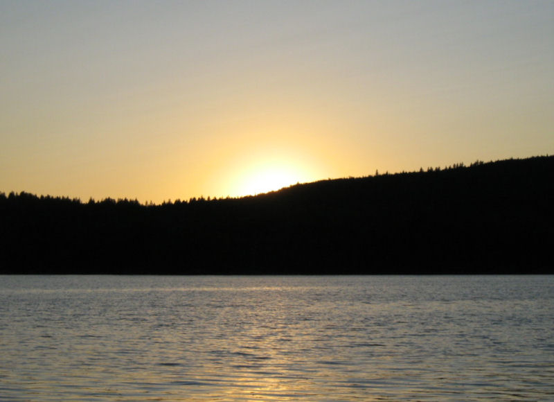
next page
return to Dawdling index
return to Cruise Logs index