| Dawdling Under Canvas
Along the A September 2008 Cruise in Wayfarer 8328 Naomi by Jim Fraser September 13-14 ... |
|
September 13
Saturday:
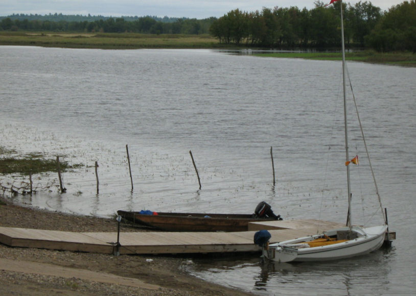
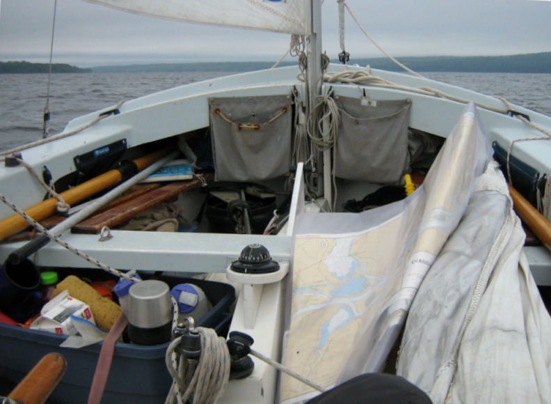
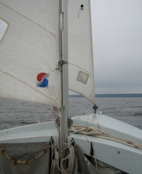
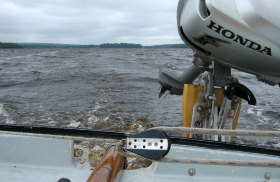
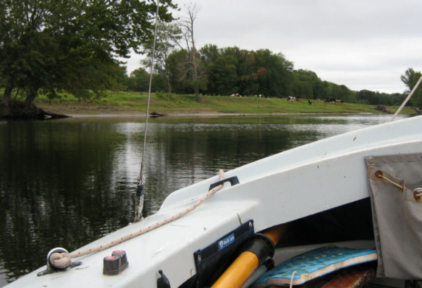   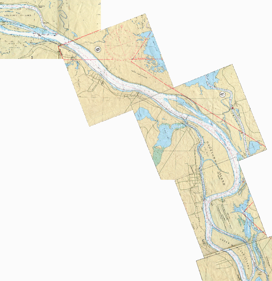 click here for full-sized chart image (top half) click here for full-sized chart image (bottom half) I motored from Ox Island on a
windless morning. I
nipped behind
 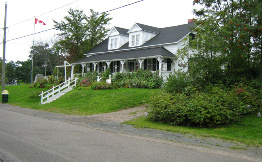 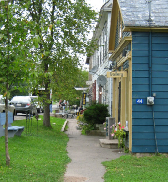  Gagetown is an attractive
village which also has a
marina. It was once a steamer stop but
is now a popular destination for day trippers in automobiles. There are craft shops, accommodations and a
pub. I have launched Naomi here
in the past. Once, I took up the local
RCMPs’
suggestion to leave my truck and trailer at their office while
cruising.
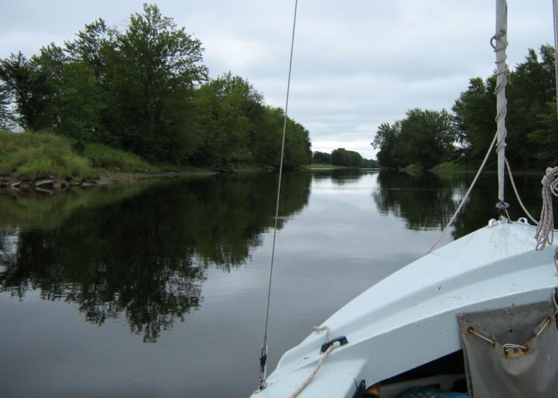
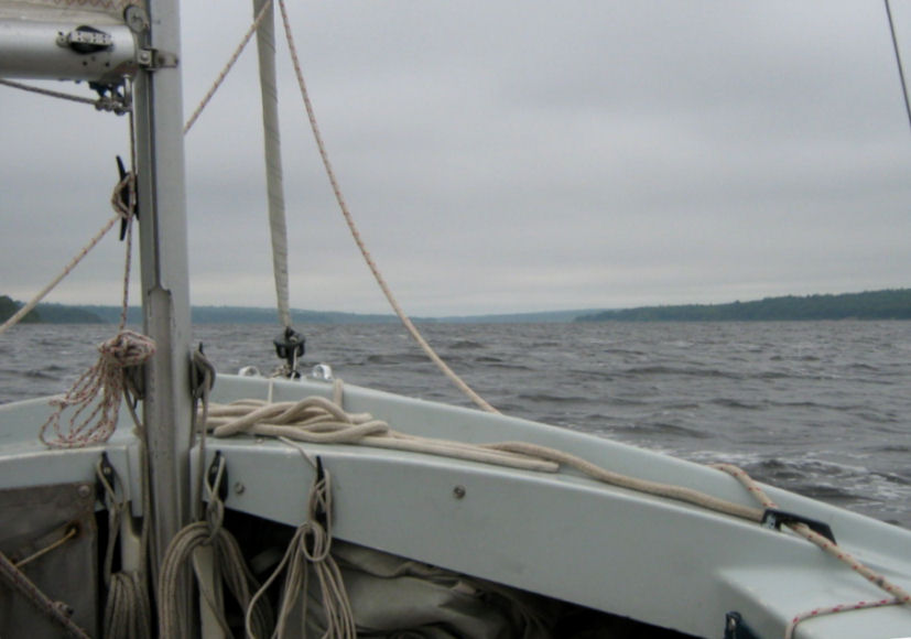
...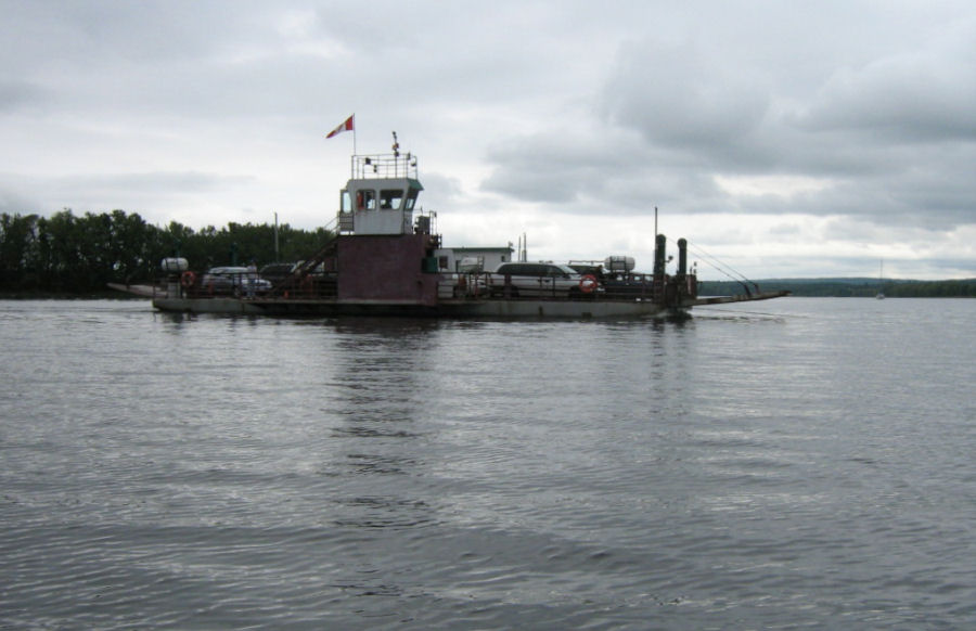 From Gagetown, I motored down Gagetown Creek till it rejoined the river. Here I waited for the cable ferry to clear Naomi’s bow. These river ferries all have long cables on which they draw themselves across the river. The cables rise from the water far in advance of the ferry and are slow to drop behind. The safest procedure is to go astern of these awkward vessels. My
destination was Colwells Creek
which separates the
mainland from
   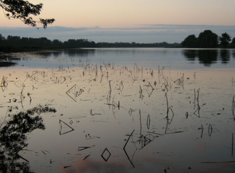  |
|
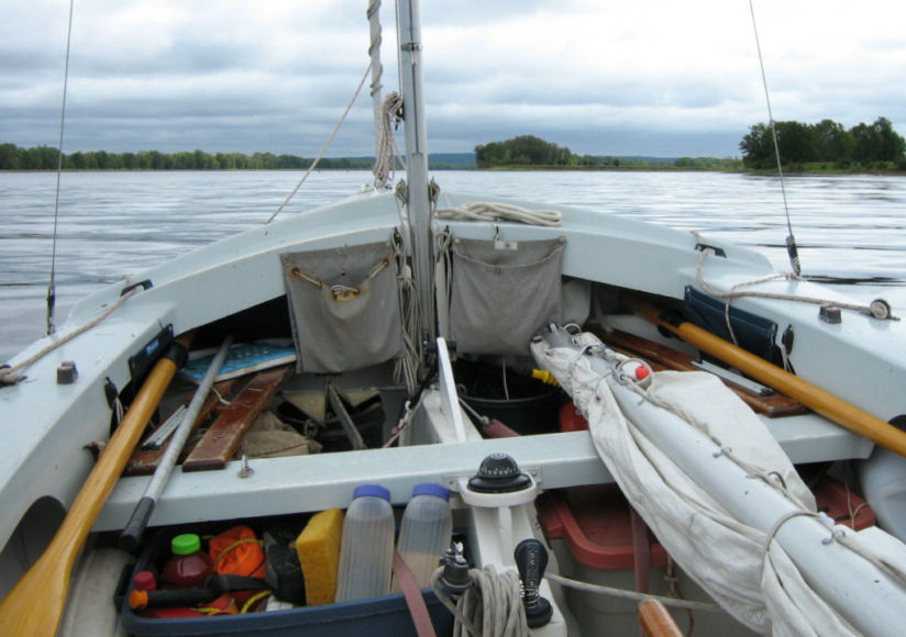
September 14 Sunday:
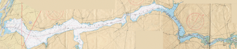 click here for full-sized chart image (left half) click here for full-sized chart image (right half) Early on Sunday morning I left
Colwells Creek and followed
the buoys through the marshes into
   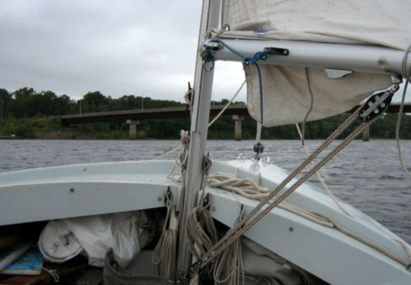  Fortunately for me, I had following winds the whole way up the lake and to my destination at Long Creek. As the wind speed changed, I used various sail configurations: from full main to single reefed main to genny and jib to genny alone and finally after There is an old covered bridge at the mouth of Long Creek. I went ashore to inspect the bridge and also to shake out my stiffness from being onboard all day. I anchored Naomi near this bridge but I mistrusted my anchorage. The scope was too short and my anchor lay on the bottom in the vicinity of a bed of lily pads. This holding ground was dodgy for the bow anchor but a stern line was fastened securely to a tree ashore as well. 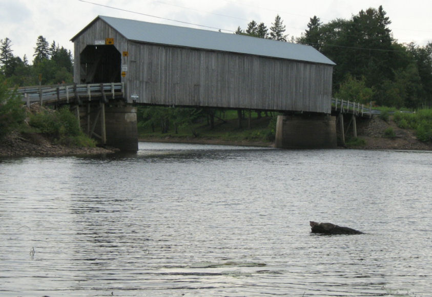 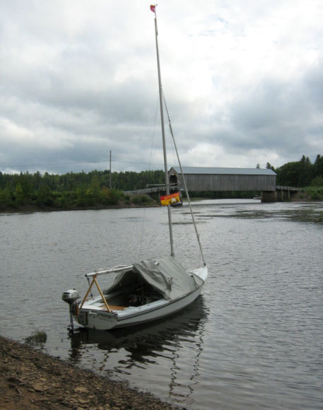 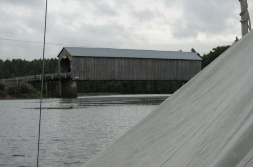 |
| next page return to Dawdling index return to Cruise Logs index |