| gunboats, fog and
lobster larceny Jim Fraser and Allan Parry's June 2005 cruise on Nova Scotia's Eastern Shore from Dartmouth to Sherbrooke in Wayfarer 8328 Naomi |
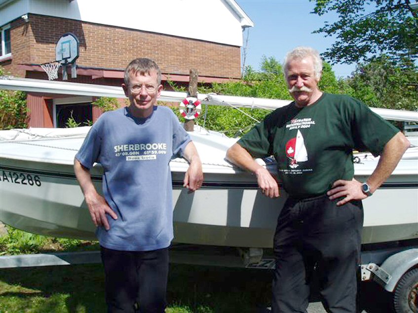 |
| Jim
Fraser (left) with Allan
Parry and Naomi ... |
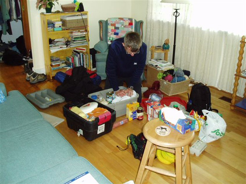 |
| Jim
packing at home ... |
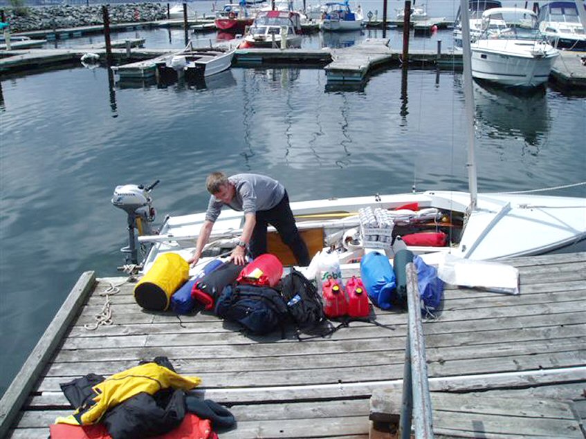 |
| Packing
Naomi ... |
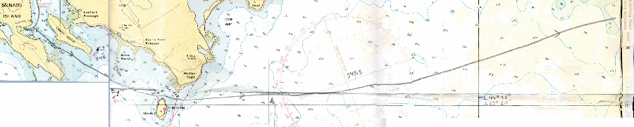
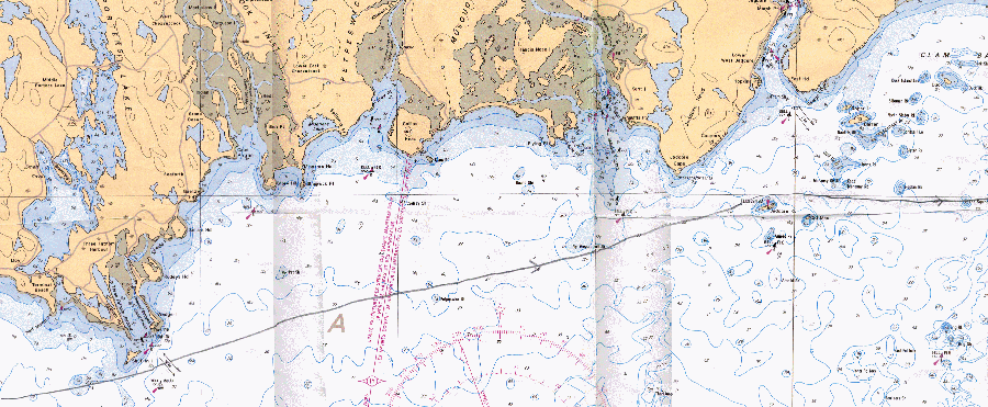
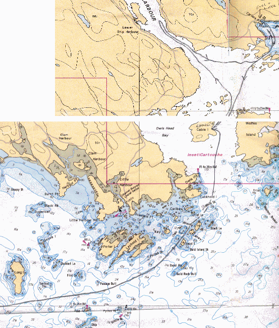
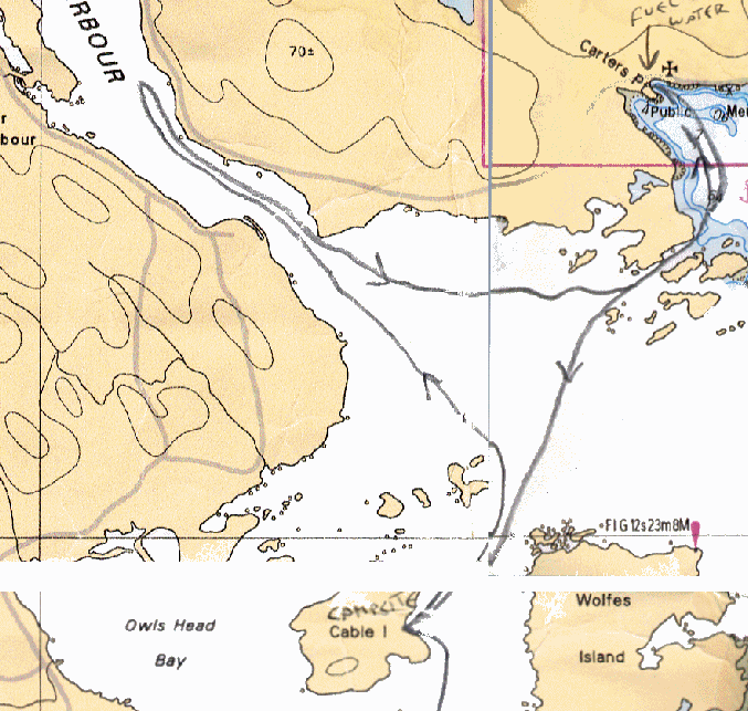
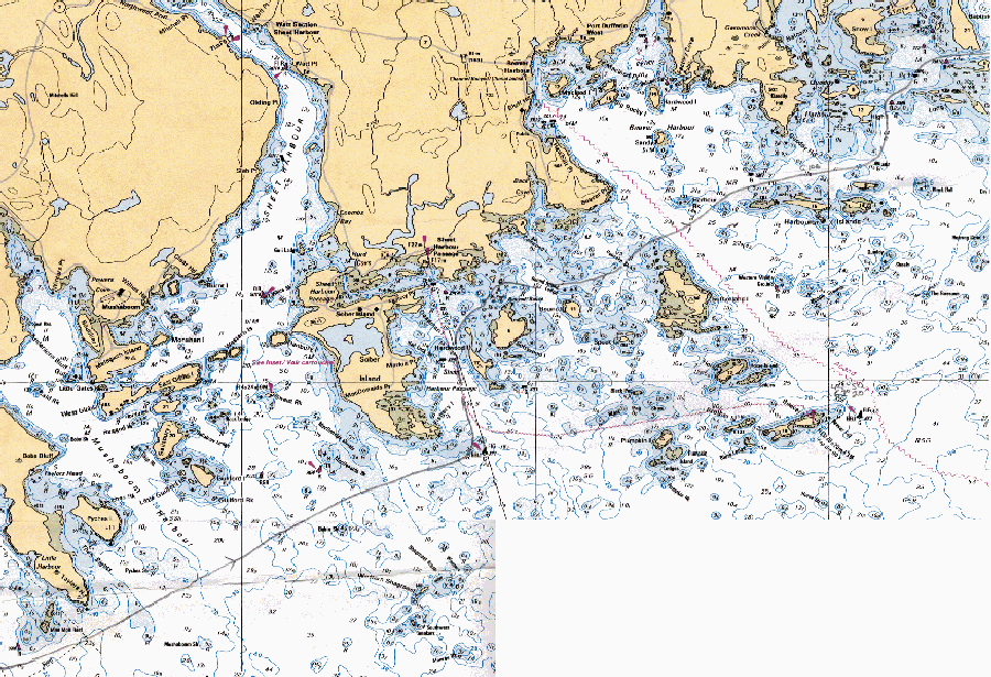
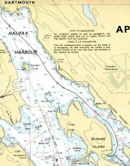 day 1: Dartmouth to McNabs Island Note: to see much larger versions of the various charts involved, click on the relevant items below: chart 1 chart 2 chart 3 chart 4 chart 5 chart 6 ... |
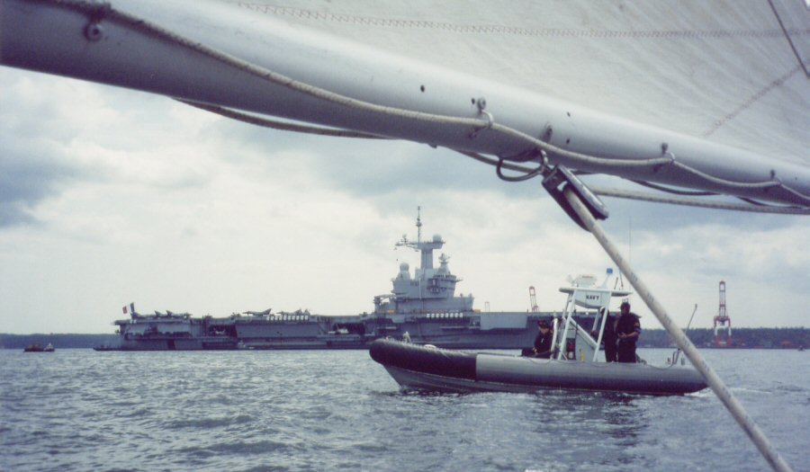 Halifax Harbour Day
1: "Vessel on my port side, you are on course to enter the
restricted area
around the naval dockyard," said a loud metallic voice. A large RIB
with flashing blue light pulled alongside. "They have real guns,"
I said to Jim. We had only just set off on our two-week cruise, having
launched Naomi from a slip
near the Dartmouth ferry terminal. 'They're probably just practicing
their shooing off technique for when
it gets busy in the summer', said Jim.
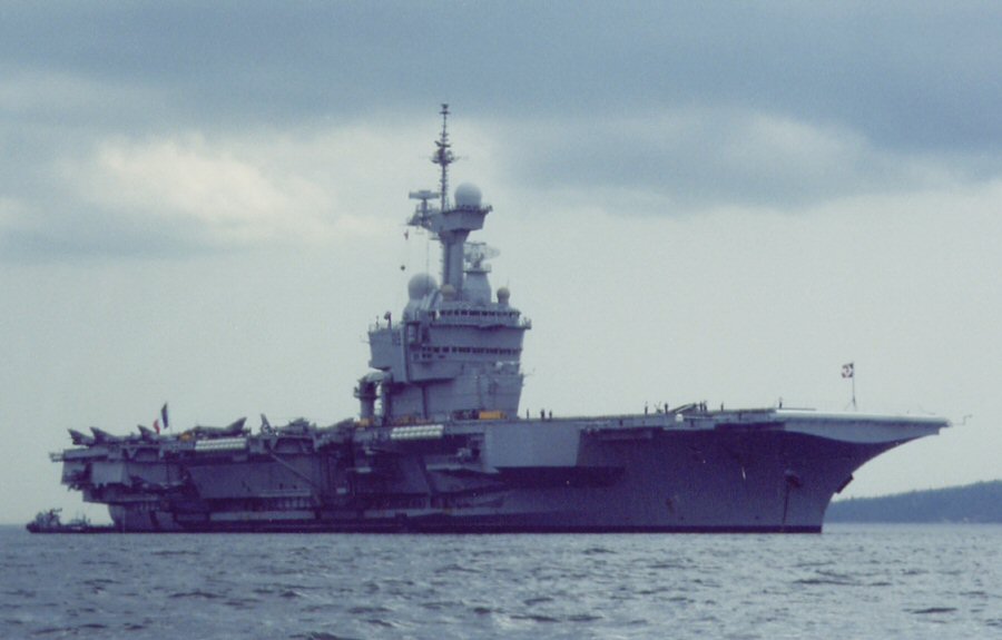 The Charles de Gaulle We ran on down Halifax harbour
under full sail towards the French
nuclear powered aircraft carrier Charles
de Gaulle. "I bet there's a
huge exclusion zone around that thing," I said. Sure enough another RIB
with blue light flashing approached. The French were taking no chances
with al Qa'eda manned Wayfarers. We were informed that there was
a 600m exclusion zone around the carrier to our starboard and a 200m
exclusion zone around the fleet tanker and nuclear submarine to port.
We hoped the two zones didn't overlap!
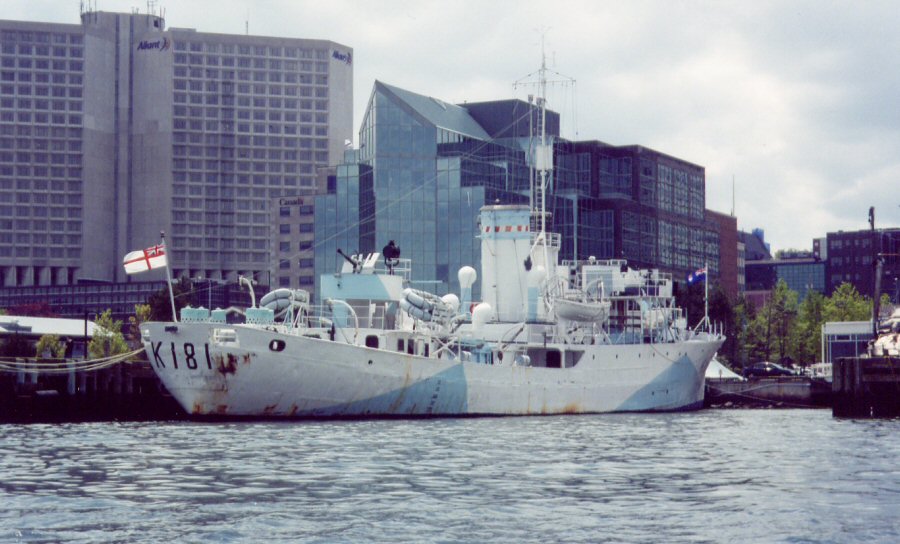 A less sophisticated warship HMCS Sackville "What are your intentions?"
demanded the megaphone. "We're going camping
on McNutts Island," I shouted. Jim cringed. "It's McNabs Island," he
hissed. "They'll be suspicious." Undeterred, Jim calmly took
photographs. Guns bristling, the RIB turned away.
 McNabs Island |
 McNabs Island - 2 Day
2: The next morning we were awoken early by the snarl of huge
outboards as
sinister black RIBs charged into our bay. Frogmen dived overboard and
swam across the bay. The RIBs raced about, creating waves to challenge
the frogmen. Two landing craft approached and put landing parties
ashore at both ends of our beach. Military bods in white plastic suits
with large plastic bags moved towards us along the beach picking things
up. Had there been a nuclear incident? Were they closing in on us?
Suddenly a tracked vehicle approached through the undergrowth behind
us. Trapped!
The French SBS frogmen started
doing press-ups on the beach. I watched
through binoculars. "Probably not a good idea that," said Jim. Finally
the shore parties converged on our Wayfarer. Were we destined
for the Foreign Legion? Fortunately they were just doing a beach
cleanup! Perhaps the French admiral was coming ashore for a barbie?
 We left McNabs Island under
sail. There was hardly any wind, but under
the eyes of the French and Canadian navies, we could hardly do
otherwise. When out of sight, we fired up the motor and headed out of
harbour, turning left at Devils Island.
 We planned to cruise the
Eastern Shore from W to E to take advantage of
the prevailing southwesterly winds. Of course, today the wind was
easterly, so we motored against it all day, getting through a whole
gallon of petrol in Jim's 2hp Honda. Finally, we arrived at Cable
Island.
The canoe guidebook had suggested this as a good campsite, and so
it was. We anchored Naomi off
the beach. There is only about a metre of
tide on these shores.
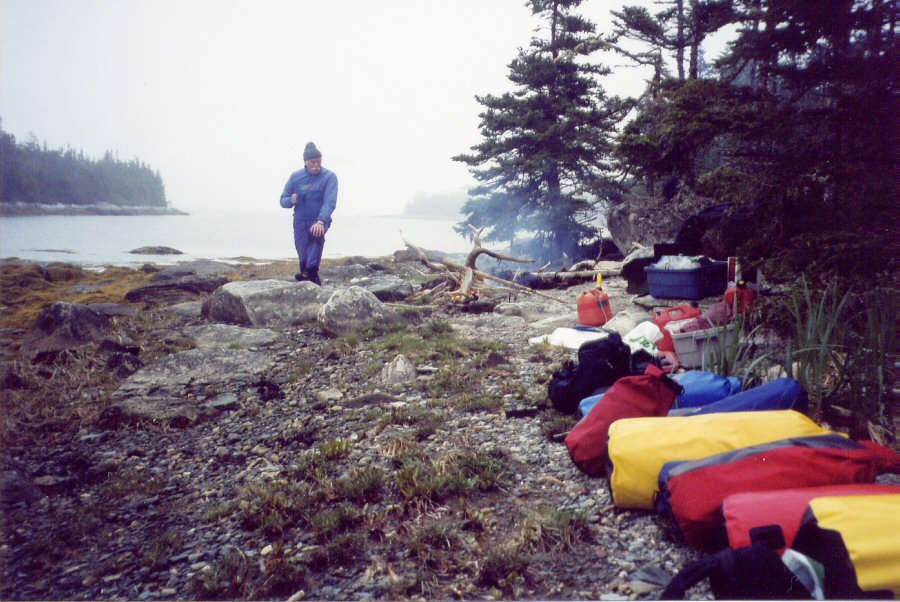
  Cable Island. 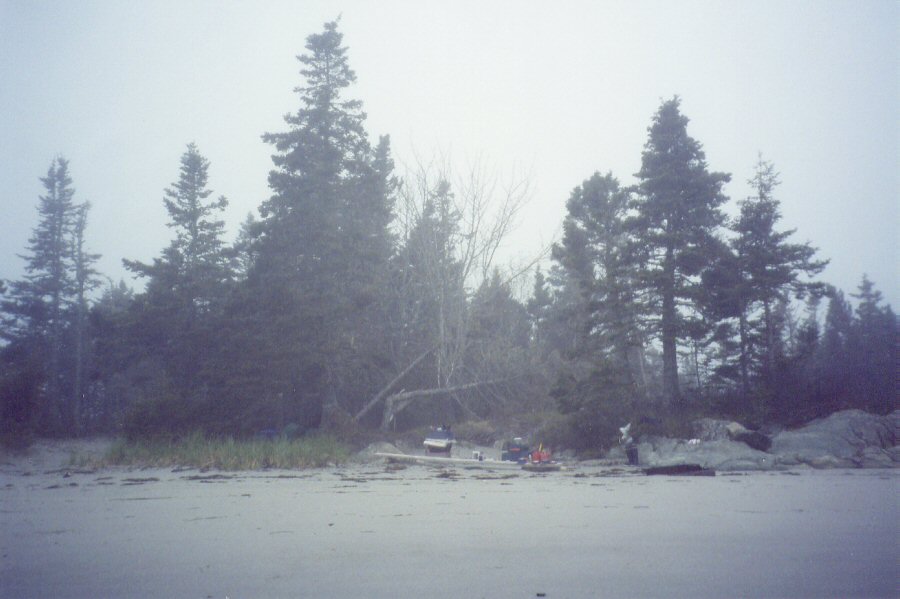 Cable Island: Tents in tree line 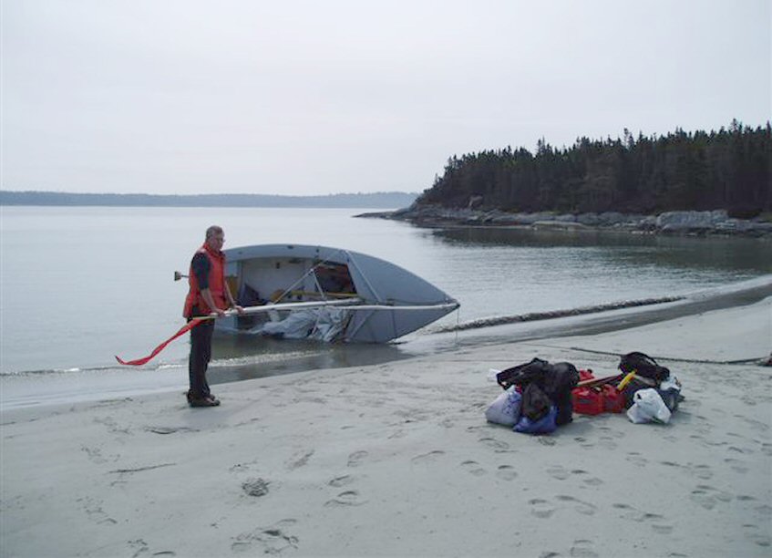 Careening Naomi. 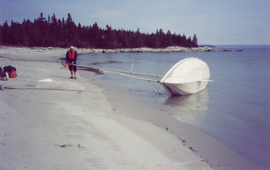 Cable Island: Centreboard cleared After our long day of motoring
we were short of fuel and water. Last
year a gallon of petrol had lasted us two weeks in Newfoundland. We
left
camp and sailed off the beach. 'Oops, the centreboard's stuck'. I said.
Back to the beach we came. I was getting used to stuck centreboards
this season - mine had been filled with large amounts of the Dee
estuary two weeks previously. We careened Naomi and Jim deployed his stone
removing tool - cut from an aluminium meter rule - true to the Wayfarer
mantra of everything having a dual use.
 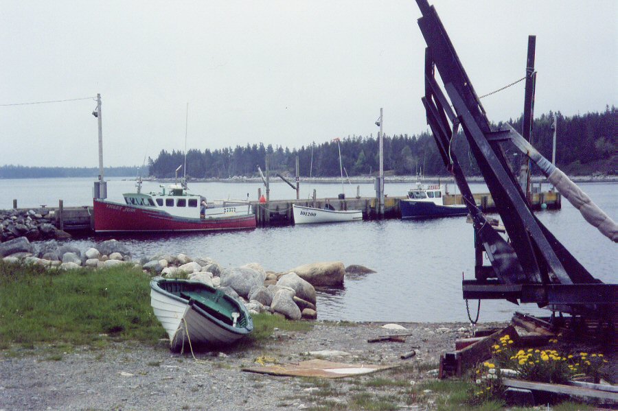 Carters Point wharf 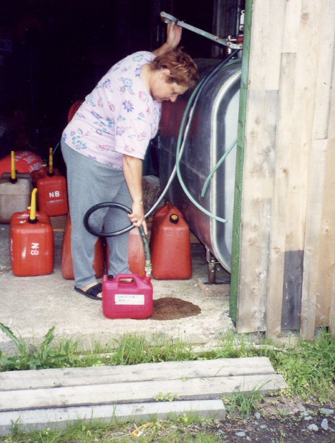 Lorna Off we went again. We scanned
the shore with binoculars for any sign of
a gas station. Nothing. "It used to be here," said Jim. We sailed into
a
small fish dock. A fisherman spoke to us in broad Eastern Shoreese. I
didn't understand a word. "He says we can get water from the white
house but petrol is only from a fuel truck," said Jim. Up at the house
we had a stroke of luck. "Aren't you Jim Fraser?" asked the lady. It
turned out they used to work together at the Halifax hospital. Lorna
gave us water, filled up our petrol can and wouldn't accept any
payment.
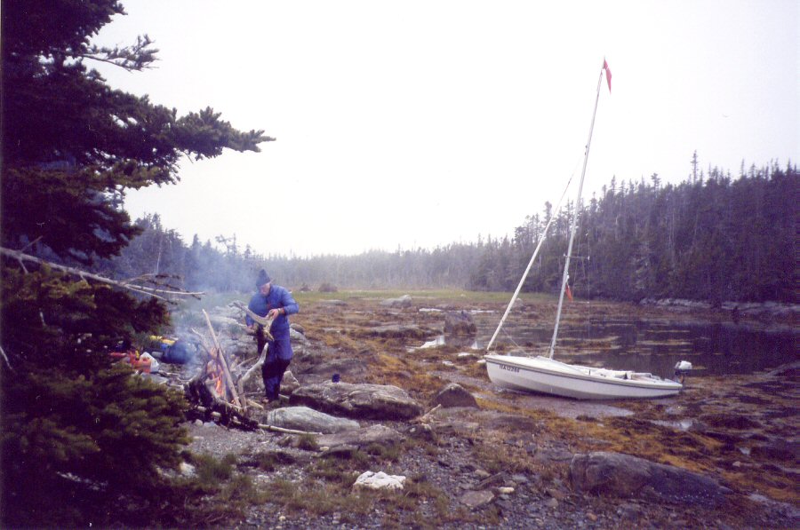
We fished on the way back to
Cable Island camp using high tech paravane
equipment but with our usual lack of success. Tinned stew and rice for
tea! And a campfire on the beach.
... |
 Bacon and Aunt Jemimas 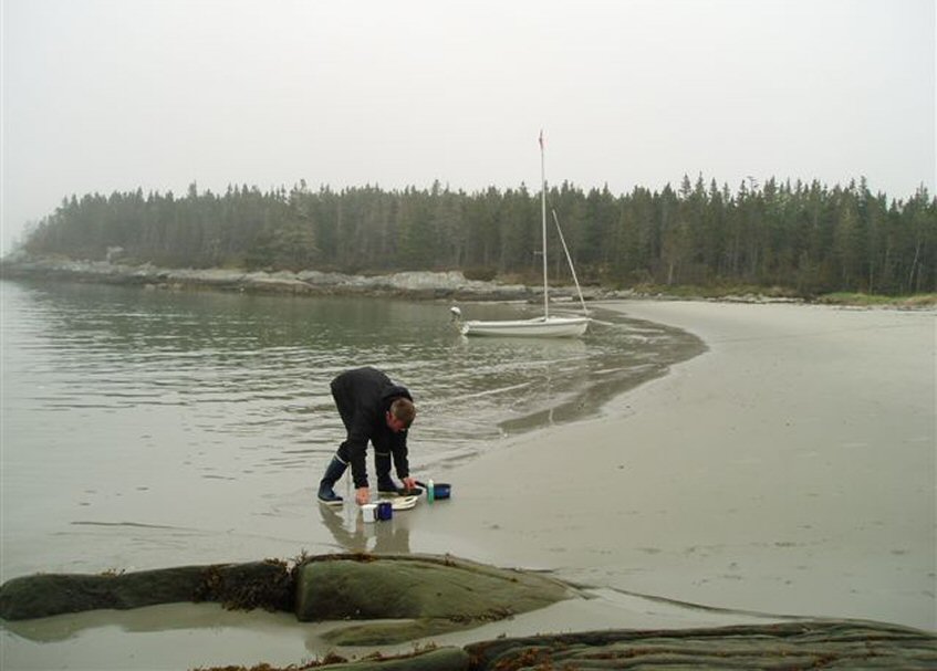 Washing up 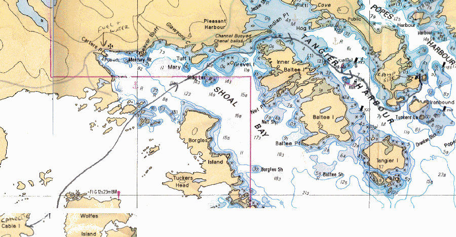 Day
3: Next day was glorious. A late start, several cups of tea ,
Aunt Jemimas
pancakes and bacon for breakfast. We broke camp and sailed past Ship
Rock down Tangier Harbour. After a short offshore passage we found
Shelter Cove inside Ironbound Island. This was a stunning natural
campsite. We had only covered 5 miles or so but thought, "What's the
rush?"
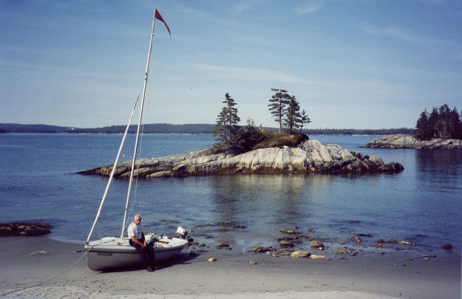  Shelter Cove There were rock pools full of
fresh water so I had a wash and shave and
did some necessary washing. The site even had geological
interest; the 'Tangier Dykes' are thought to be made from the
bottom part of the Earths crust and are amongst the oldest rocks on
Earth.
As we ate our evening meal
around the fire an osprey flew around doing
its fishing. A Colin Archer ketch flying a British red ensign sailed
past and anchored further up the cove.
... |
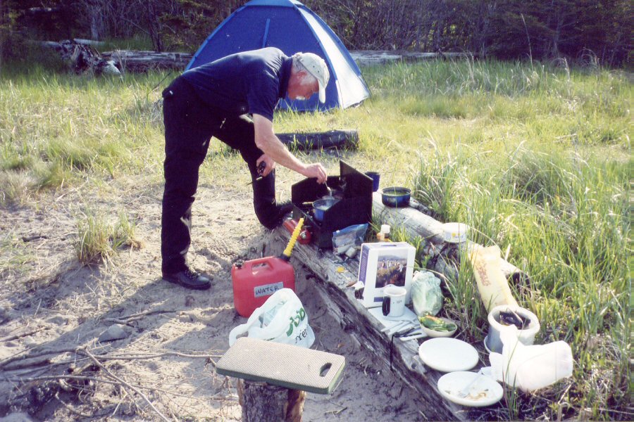
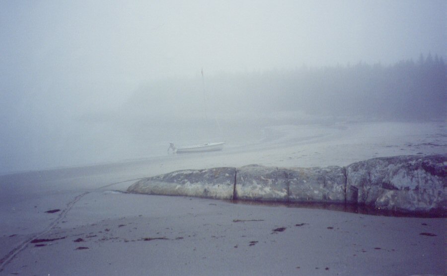
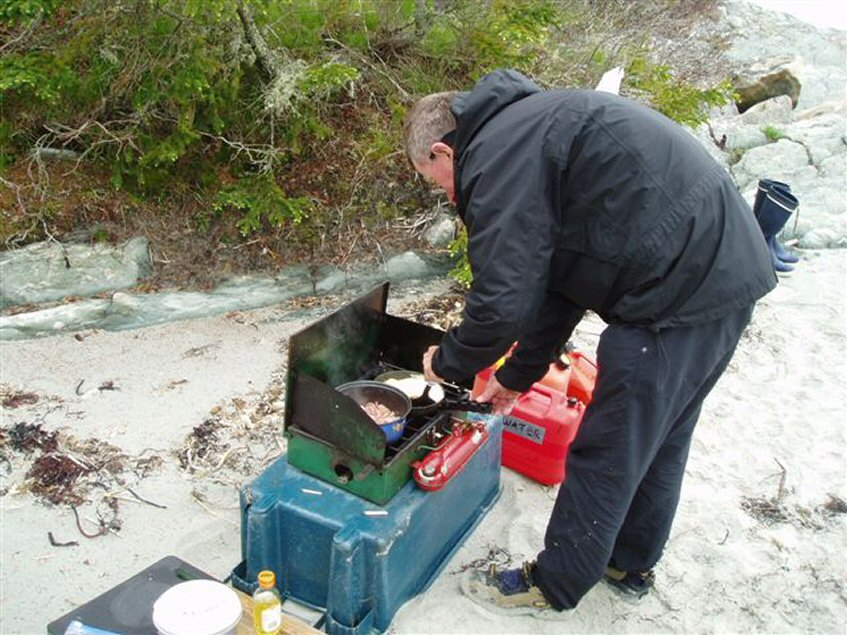
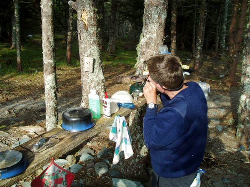 repairing the Coleman stove Day 4: We needed to move on. The 2 burner Coleman petrol stove was acting up. A blocked jet was diagnosed. We tried a broken match, a fine piece of grass and then a medical syringe to try to unblock it. The syringe worked eventually when Jim remembered to remove the blanking cap! 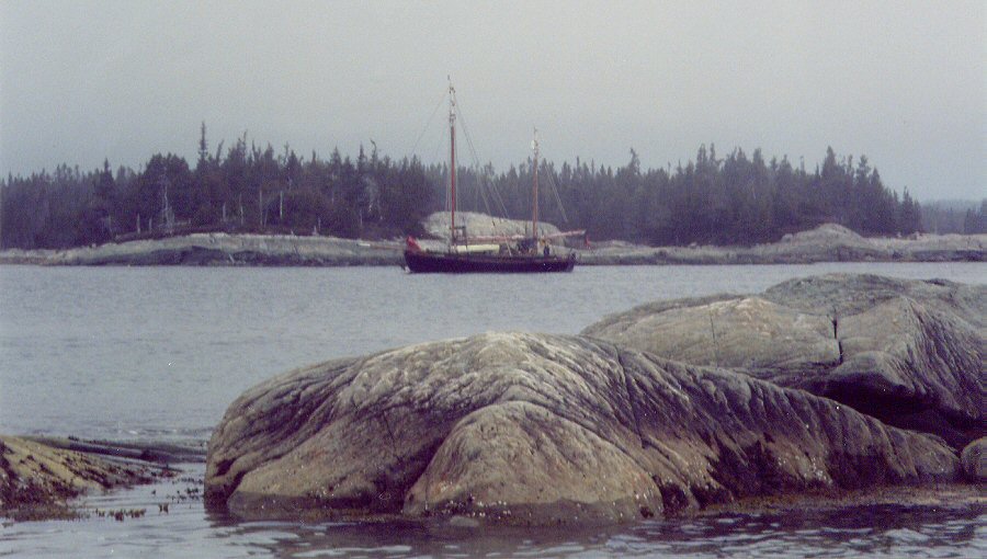 British ketch The British ketch motored out of the cove and then returned. The fine morning was threatened by fog which was rolling in. We called him up on Ch16 and had a chat. He had been away for 2 years and was returning to the UK via Newfoundland and Greenland. He said the fog was not too bad but he had low oil pressure. 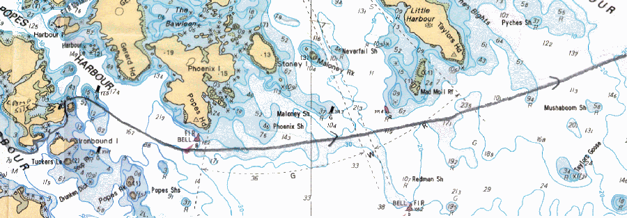 The fog was standard stuff for
this coast. Warm, moist air from the
Eastern Seaboard meets the cold waters of the Labrador current leading
to frequent fogs. Today it wasn't too bad - 200 to 400m visibility. We
had to make progress, so set off for Taylors Head on a compass course.
We didn't see the headland but buoy hopped using GPS.
  The fog persisted
all day, sometimes thinning to a watery sun and sometimes becoming
thick. One consolation was that in these rock strewn shallow waters we
were not going to encounter anything bigger than a small lobster boat.
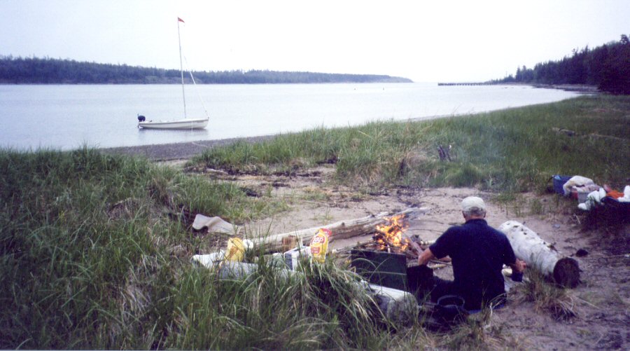
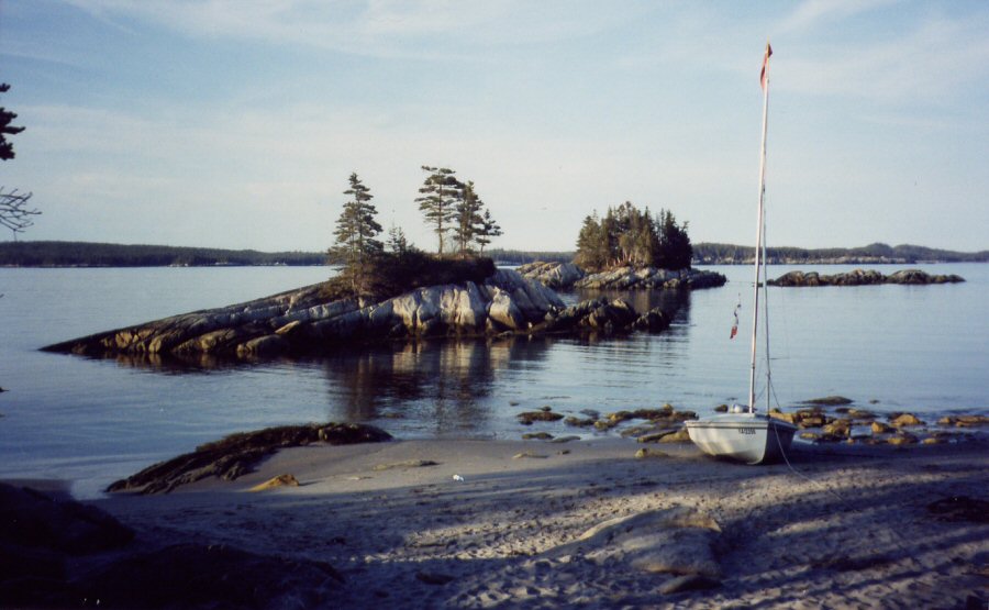
  Eventually we arrived at
McDonald Island (above) and
made camp on a scrap of
marshy grass between sea and forest. At least firewood supplies were
healthy. Coffee with rum followed by ham, onions and potatoes around
the fire was good.
... |
| part
2 |