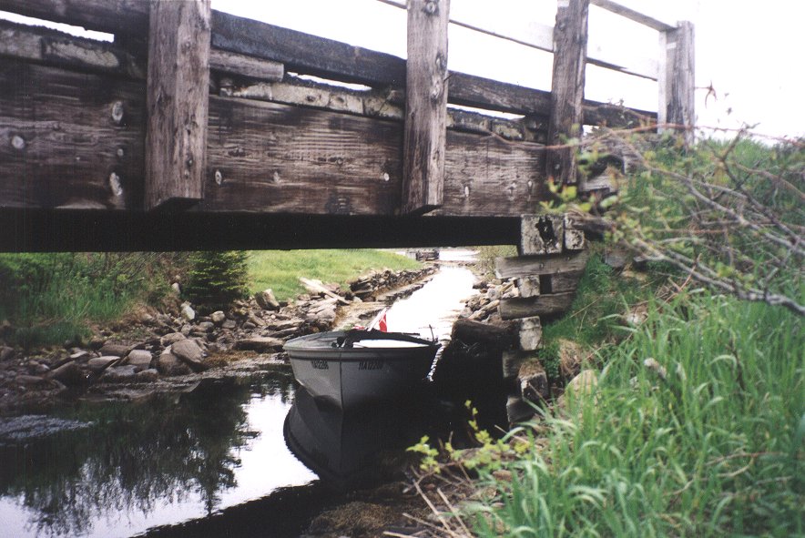
| Here I anchored Naomi in a deep hole since the tide
now ebbed.
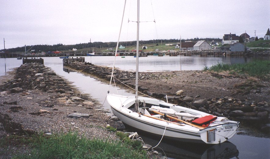
Sitting on the shoreline, I tried to visualize the fleet of Gloucester
schooners which congregated here in the past and where a community,
complete
with schoolhouse and church, once stood. Except for a handful of black
mussel floats, there wasn’t any sign of human presence now.
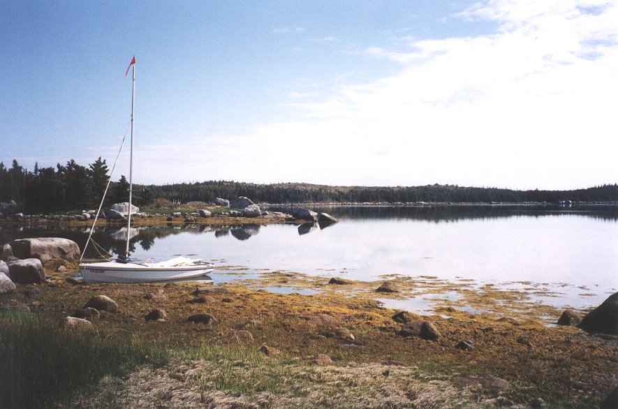
Contentedly snacking and musing where I lay, I was mildly
disappointed
when the tree limbs overhead began to rustle and wavelets appeared in
the
mouth of Yankee Cove. Yet I knew I should move on for as long as the
weather
held. I could easily be fog- or storm-bound on this coast for days.
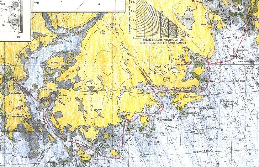
After
tacking out of Yankee Harbour, I headed down Eastern Passage. The stout
lighthouse on Whitehead Island and the distinctive Three Top Island
made
navigation simple. Additionally, lobster pot floats provided aids to
navigation,
festooning unseen shoals and confirming the shoals’ position on my
chart.
|
|
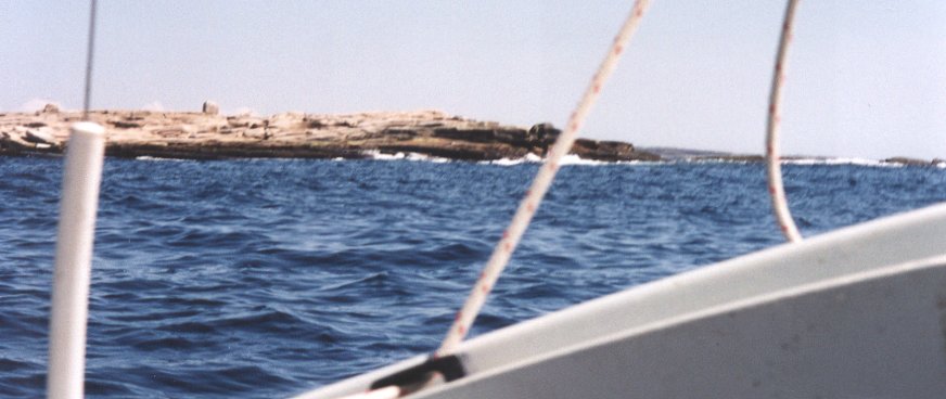
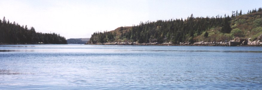
Typical islands off Whitehead Harbour
...
|
|
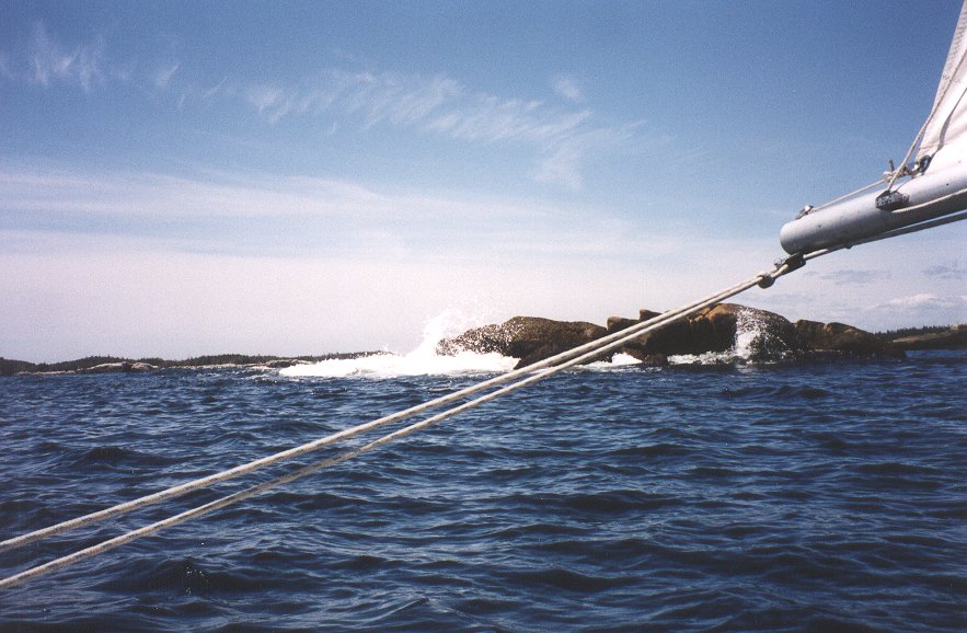
Typical sailing off Whitehead
...
|
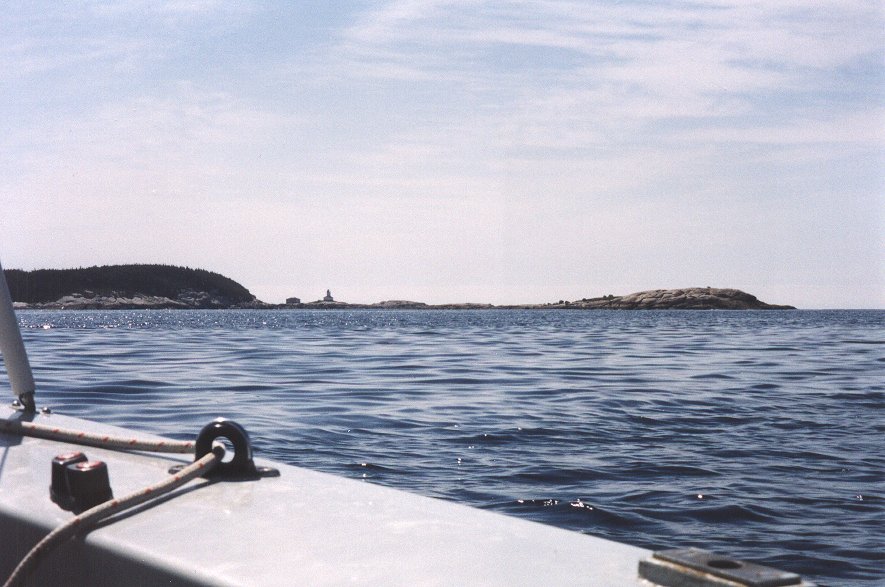 |
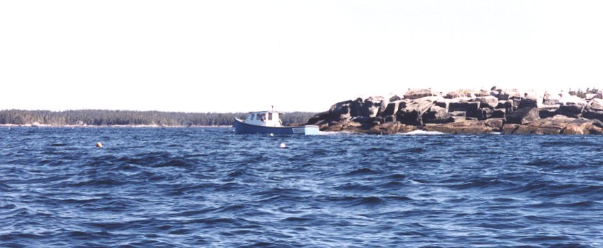
Whitehead Island Lighthouse
...
|
| Inshore fishing boats gunned their throaty engines, then shut
them
down repeatedly as they moved from one float to the next, hauling,
rebaiting.
and dumping each pot again. It was another sunny day without log banks
lurking on the horizon or a swell on the coast. Cruising was fun. After
beating out of Eastern Passage and rounding Millstone Island, I turned
shoreward again, and entered a maze of ill-defined rocks, islands and
coast.
Even the shoreline was barren with stunted coniferous trees and
windswept
open hilltops. Standing, braced against the thwart, I watched for rocks
below the surface and navigated a twisty course for Port Howe. First I
headed for Crane Cove, then swung behind Whale Island, and rounded
Black
Rock before arriving at Port Howe. Northwest Arm looked intriguing with
a stream at its head but I found the arm exposed, with steep rocky
banks
dropping directly to the water. The island behind Howe Point on Dover
Island
is the best anchorage. There is no road access so anyone being
stormbound
here should have ample food and water. I sailed through the fluky winds
in Dover Passage and into the strengthening winds of Dover Bay before
heading
into Louse Harbour for the day. |
|
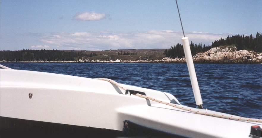
Approaches to Port Howe: Howe Point on Dover Island
...
|
|
Dover Passage
...
|
|
Louse Head with Louse Harbour behind
...
|
|
|
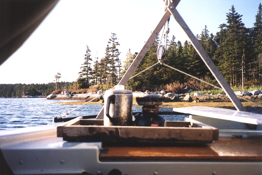
At anchor in Louse Harbour
|